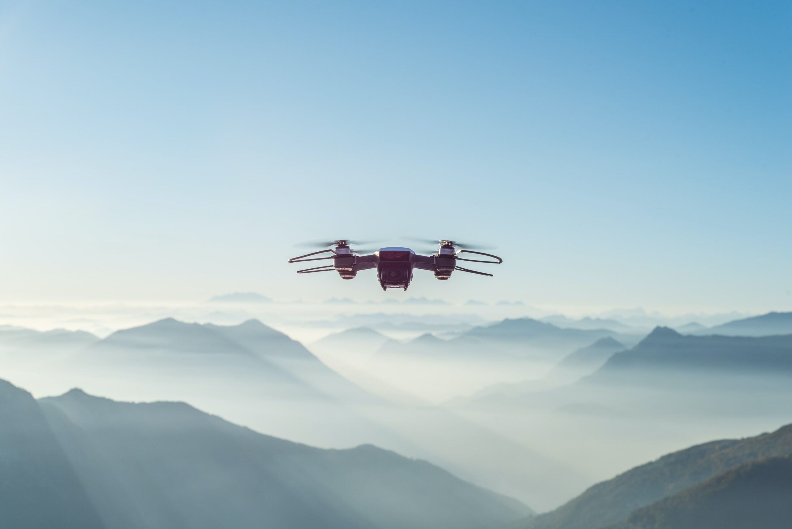
Perhaps you must have often heard about drones. But are you aware of how it helps in surveying? You have come to the right place as this blog is all about drones and their usefulness in surveying different sites. A drone is highly efficient in carrying out quality topographical surveys like traditional methods. However, the difference between the processes lies in time consumption.
While drones gather highly accurate measurements in a fraction of a second, traditional methods take long hours, even days, to gather the same information with high accuracy. With a drone, it is not only possible to cut down the substantial costs of a site survey but also reduce the workload of specialists in the field. Thus, GIS professionals can enjoy potential benefits from surveying with a drone. Some of the best drone integrated systems for surveying and mapping are UgCS Drone MagArrow Magnetometer, UgCS Altimeter For True Terrain Following, UgCS Bathymetry System, and UgCS for DJI.
Introduction to Drone Survey
A drone survey is the application of a drone or unmanned aerial vehicle (UAV) to collect aerial data with the help of downward-facing sensors such as LIDAR payloads, and RGB or multispectral cameras. When it comes to drone surveying a site with multispectral cameras, the ground is photographed multiple times from various angles, and every photograph is tagged with coordinates.
Moving further, any photogrammetry software can easily create 3D models and geo-referenced orthoimages of the project area. These images can be further used to extract information such as volumetric measurements or distances. The best thing about drones is that they can fly at lower altitudes unlike manned aircraft or satellite imagery and collect high-resolution data with high accuracy. It’s only due to drones that surveying has become faster, convenient, cost-effective, and free of atmospheric conditions such as cloud cover.
Types of Drone Surveys
Bathymetric Survey
The drone integrated system of bathymetry is equipped with an unmanned aerial vehicle (UAV), and an Echo Sounder or Ground Penetrating Radar (GPR). Bathymetric surveys are conducted to extract data from water depths and sediments 10 times faster and 2 times more cost-efficient than traditional methods that use a ship, boat, or unmanned surface vehicle to operate at hard-to-reach locations. It acquires data seamlessly from mining pits, steep coasts, shallow waters, terrain obstacles, and particularly those areas that are not reachable by foot or drone.
Magnetic and Low Altitude Survey
Low altitude surveys essentially require unmanned aerial vehicle (UAV) operating skills, professional software for planning, and reliable equipment to collect high-quality data with high accuracy while flying close to the ground. It is very challenging to survey a site with an altitude sensor for drones attached to a moving UAV using long tow ropes. Magnetometers and Ground Penetrating Radars (GPRs) are extremely useful for surveying below the ground. These drone integrated systems are widely used in industries such as engineering, mining, construction, and many others. Sensor-carrying drones are usually operational in dangerous terrains where humans can’t walk on.
Volumetric Survey
As already discussed earlier, volumetric measurements can be obtained from geo-referenced images with the help of 3D mapping software. This fast and inexpensive method is particularly useful for surveying stocks in mines and quarries for monitory or inventory purposes.
Drones help surveyors to capture more topographic data points, leading to more accurate volume measurements.
Benefits of Surveying with Drones
Lowers Cost and Survey Time
Unlike land-based traditional methods that require long hours to complete a site survey, surveying with a drone helps in capturing topographic data 5 times faster with reduced manpower. Thus, you can achieve accurate results faster and at a much lower expense.
Delivers Accuracy-Driven Results
While traditional methods extract data from individual topographic points, a drone flight collects thousands of measurements that can be represented in different formats such as point cloud, orthoimage, DSM, contour lines, etc. Most importantly, each pixel of the produced 3D image or map comprises 3D geo-data.
Collects Data from Inaccessible Terrains
An aerial mapping drone can fly above any terrain and almost at any specified altitude. Thus, surveying is no longer restricted by unsafe or unreachable areas, steep slopes, or harsh terrains. Luckily, drone integrated systems can collect data from terrains that are otherwise impossible for humans to access. They can even extract data during an operation without an organizational head.
Conclusion
Now that you have read the entire blog, you know the important aspects of surveying with drones. Be it UgCS for DJI, UgCS for LIDAR mapping, or altitude sensor for drone, every drone integrated system helps in gathering high-quality, high-accuracy data within a fraction of a second. However, the accuracy of a drone survey mapping depends on several factors – the type of the drone, the performance of the drone, the camera resolution, the quality of its components, the altitude at which the drone can fly, the terrain above which the drone can fly, and finally the method & technology used to geolocate the aerial images.

