CNN
—
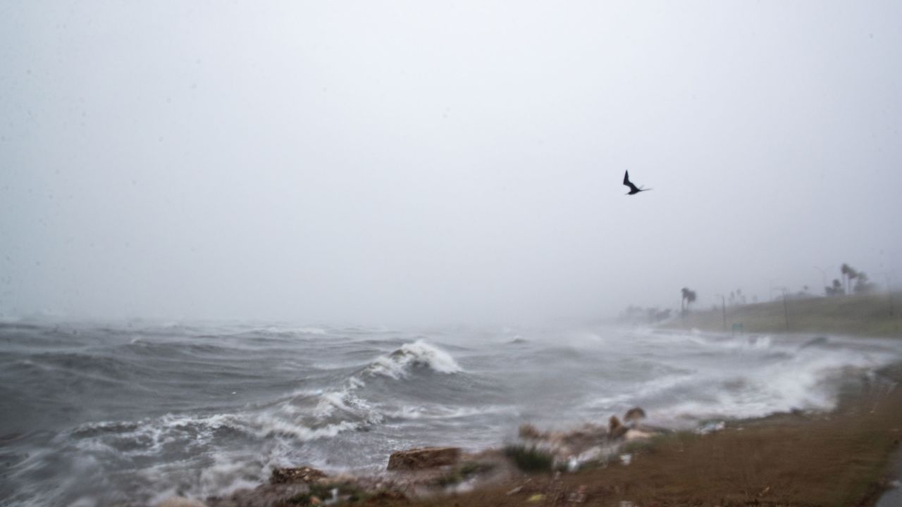
Harold has weakened to a tropical depression as it continues to plow through Texas, triggering flash flooding and tornado warnings as the gusty storm pushes toward Mexico.
Harold made landfall as a tropical storm just before 10 a.m. CT (11 a.m. ET) on Padre Island, Texas, with sustained winds of 50 mph and gusts as high as 67 mph, becoming the first storm to come ashore in the United States in the 2023 Atlantic hurricane season.
The storm now has 30 mph sustained winds, according to a 5 p.m. ET advisory from the National Hurricane Center, and all tropical storm warnings along the Texas coast have been discontinued.
The center of the storm is about 15 miles east of Laredo, Texas, and will continue moving into northern Mexico over the next few hours.
Heavy rain and strong winds will continue to slam portions of southern Texas and Mexico as Harold tracks westward. Those winds had knocked out power to around 20,000 customers in Texas as of Tuesday evening, according to poweroutage.us.
Harold will be able to dump 3 to 5 inches of rain across South Texas on Tuesday and Wednesday with locally higher amounts closer to 7 inches. Across Mexico, 4 to 6 inches of rain are expected.
The heaviest rain tonight will occur across northern Mexico, where up to 10 inches is possible.
Life-threatening surf and rip currents conditions will last across the southern Texas coast through Tuesday, and it’s possible the state may also see a few tornadoes develop. The National Weather Service issued several tornado warnings in South Texas early Tuesday afternoon.


