

The researchers are from: the National Engineering Research Centre for Satellite Remote Sensing Applications under the Chinese Academy of Sciences; the Oasis Eco-Agriculture Key Laboratory, Xinjiang Production and Construction Corps, at Shihezi University in northern Xinjiang; and Canada’s University of Toronto.
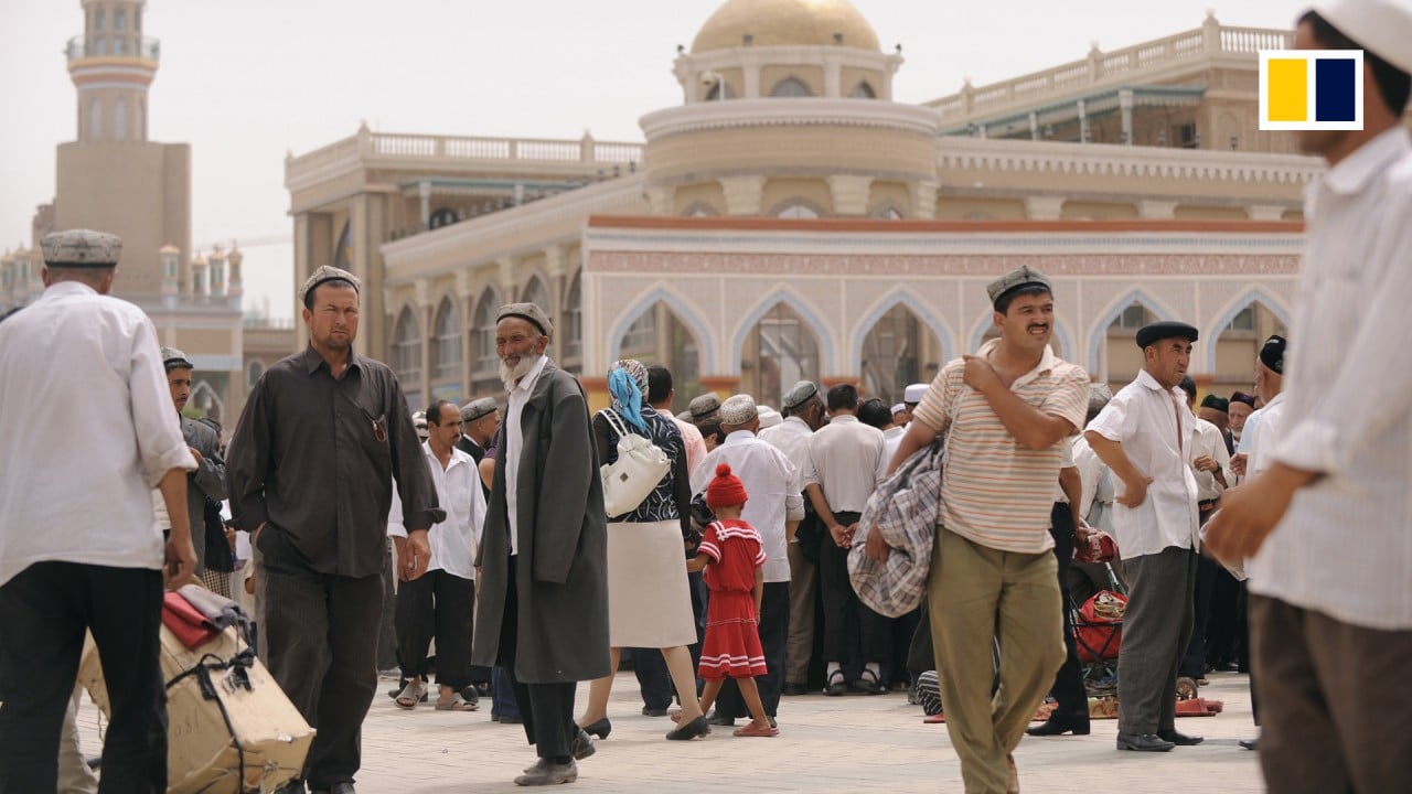
China produces more than 20 per cent of the world’s cotton, mostly from the far western region of Xinjiang. Last year, the autonomous region produced 90 per cent of the country’s cotton, according to state news agency Xinhua.
02:04
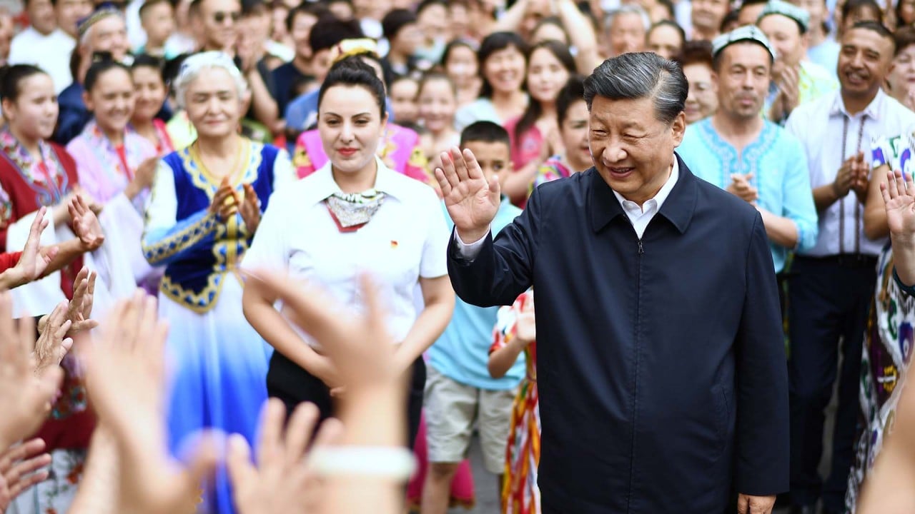
China’s President Xi visits far western Xinjiang region for first time in 8 years
China’s President Xi visits far western Xinjiang region for first time in 8 years
In 2019, the think tank Australian Strategic Policy Institute (APSI) released a report analysing the expansion of textile factories, and a vocational skills education training centre in Xinjiang. Its author, who specialises in satellite data, said “satellite imagery provides unique insights into the increasingly securitised nature of the region”.
Xinjiang defies Western curbs as foreign trade hits record high, surges by 47%
Xinjiang defies Western curbs as foreign trade hits record high, surges by 47%
In the new study, the scientists said it was key “to choose a suitable computing platform and remote sensing data for cotton mapping across Xinjiang, for satellite-based remote sensing imagery has been developed as the main data source for crop mapping in large spatial ranges”.
The analysis showed that cotton was mainly concentrated in southern and northern Xinjiang in the four-year period starting from 2018. The most densely distributed areas at the prefecture level were in Bortala, Tarbagatay, Changji, Aksu and Bayingolin.
03:17
Why China is keeping a tight grip on Xinjiang
Why China is keeping a tight grip on Xinjiang
They said their cotton maps “exhibited better spatial details and more realistic dynamics of cotton across Xinjiang” compared with other existing cotton mapping products.
The scientists said they could also use the method to build a map of more recent conditions.
“The proposed method can be transferred to cotton mapping in a new year [2022], and the published cotton maps data set can provide a basis for crop management and policymaking,” the researchers said.