
What you need to know
- Google is gearing up to add support for satellite connectivity in Android, and previous leaks have revealed that texts might be made over satellite.
- Now, code referenced in the Google Maps app reveals that Google might also use satellite connectivity to update a user’s location.
- The feature might allow users to update their location every 15 minutes, up to five times per day, using satellite connectivity.
Satellite connectivity has been a hot topic in the Android world recently, as all signs point to Google adding the feature to future Android releases and new devices. However, most references to satellite connectivity in Android have been related to text messaging while out of range of a cellular tower. Now, new code references hint at a way to use satellite connectivity in future versions of Android that might even be more useful than texting.
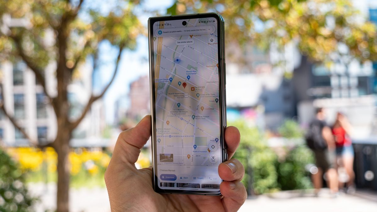
Google Maps will eventually let users update their location using an overhead satellite, according to a report from PiunikaWeb. In a recent Google Maps beta, specifically version v11.125, PiunikaWeb found multiple code snippets describing satellite-enabled location updates. Presumably, users could use this feature to update their location in Google Maps to share with loved ones or first responders if they are off-grid.
The code strings preview a new UI that appears in Google Maps when a user does not have cellular connectivity. If the phone loses cellular data connection, users will see a “Connect to satellite” explainer with a button to use satellite connectivity in Google Maps. After pressing it, Google Maps users can update their location via satellite once every 15 minutes, with a limit of five times per day.
This limit will mean Android users have to choose wisely before falling back to a satellite for location updates. The five-per-day cap likely has to do with the cost of using satellites for things like messaging and location updates. After being sent to an overhead satellite, the data needs to be returned to a ground satellite and processed, which is a costly endeavor for companies.
This is precisely the reason why phone companies that offer satellite connectivity, like Apple, caution that the functionality might not be free forever. Apple guarantees two years of free satellite connectivity, and can extend that free period if it chooses to, but the cost beyond that is to be determined.
While there’s a lot of talk about Google’s upcoming satellite additions in Android, it’s important to remember that there is a hardware component to the functionality. Phones will need to support satellite connectivity in order to take advantage of the software features, and it’s expected that the upcoming Pixel 9 will include that hardware.